Carmarthen Bay & Estuaries EMS
The European Marine Site
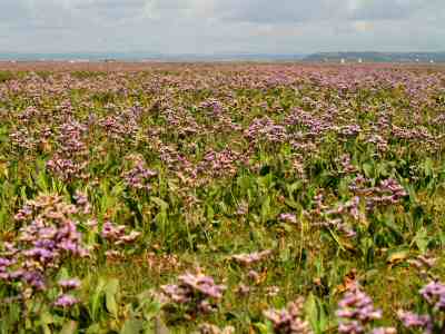
Carmarthen Bay and Estuaries European Marine Site lies between the Gower and Pembrokeshire peninsulas in southwest Wales.  It extends from Tenby in the west, offshore past Caldey Island and almost to Oxwich Point in the east and includes the Burry Inlet / Loughor Estuary and the Taf–Tywi-Gwendraeth (Three Rivers) estuaries.
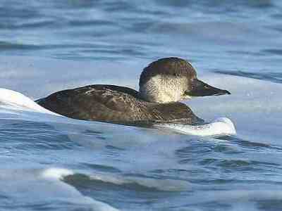
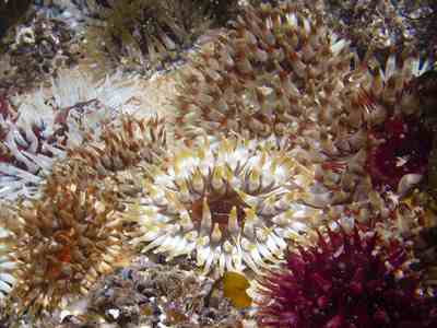
The EMS encompasses three marine Natura 2000 sites – Carmarthen Bay Special Area of Conservation (SAC), Carmarthen Bay Special Protection Area (SPA) and Burry inlet SPA.
Carmarthen Bay and Estuaries SAC shares the same boundary as the EMS, whilst the Burry Inlet and Carmarthen Bay SPAs are wholly encompassed within the EMS boundary.
The offshore EMS / SAC boundary follows north-south and east-west lines of longitude and latitude to make it simple to understand on a map and easy to identify using electronic navigation aids at sea.
The inshore boundary follows the high water mark around most of the site except west and southwest Gower where it meets a terrestrial SAC at the low water mark.
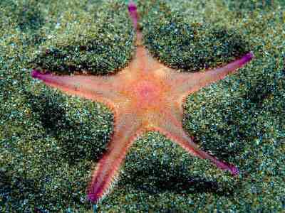
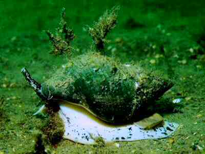
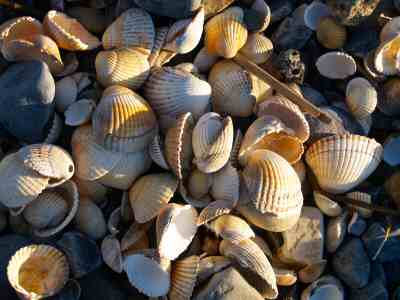
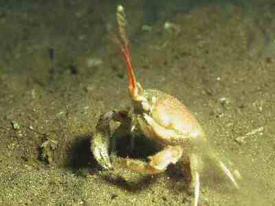
The boundaries of the SACs and SPAs were drawn to take in the conservation features for which the sites were selected. They do not represent the precise extent of any one feature, or the distribution of any species at a specific time. Habitat features are distributed throughout the sites: no one habitat occupies the whole site and they overlap in places. Species features move around within and outside the sites.
The Natura 2000 sites are described in more detail here: